Winkelauerteich Hiking Trail
Winkelauerteich-Wanderweg
Hiking tour Starting from Bus stop near Heidenreichstein Castle, Burgstüberl/Parking
Heidenreichstein path no. 5 - Winkelauerteich pond Heidenreichstein Castle (bus stop) - Waidhofener Straße - Berggasse - Rosengasse -Brühlweg - Hemmerteich - Grenzweg - Brucknerkreuz - Rundweg Heidenreichstein 69 - Winkelauerteich - Weitwanderweg 630 - Gemeindeteich- Parkweg - Waidhofener Straße - Heidenreichstein Castle
- Starting point of the tour
- Bus stop near Heidenreichstein Castle, Burgstüberl/Parking
- Tour destination
- Bus stop near Heidenreichstein Castle, Burgstüberl/Parking
- Fitness level required:2/6
- Lowest point
- 552 m
- Highest point
- 623 m
Heidenreichstein path no. 5 - Winkelauerteich pond Heidenreichstein Castle (bus stop) - Waidhofener Straße - Berggasse - Rosengasse -Brühlweg - Hemmerteich - Grenzweg - Brucknerkreuz - Rundweg Heidenreichstein 69 - Winkelauerteich - Weitwanderweg 630 - Gemeindeteich- Parkweg - Waidhofener Straße - Heidenreichstein Castle
When choosing your route, make sure it’s appropriate for your fitness level. Check to see if the restaurants you plan to visit along the way are open. Pack your fully charged cell phone and maps in your backpack.
Sturdy shoes, functional clothing, sun and rain protection, maps, trekking poles if needed, first-aid kit (blister bandages), and plenty of food (snacks, granola bars, fruit, water).
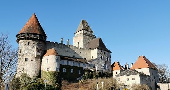
Starting at the bus station across from the Wasserburg, the city’s landmark, the route leads to the left around the castle to the Schlossteich and then to the right over the Romaubrücke into Berggasse. Here, you’ll be rewarded with a beautiful view of the castle and the Schlossteich. The route continues via Angergasse and Rosengasse, then along the B30 to Brühlweg.
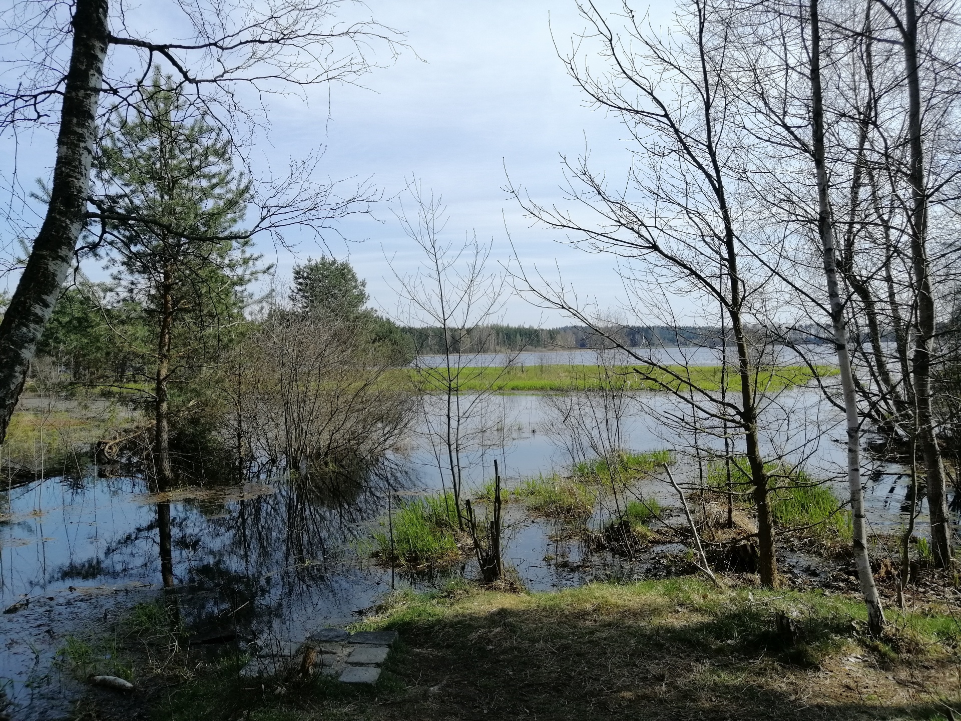
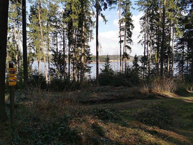
After passing Hemmerteich, the trail leads through private property, along several ponds, uphill into the forest, until it reaches a path that leads to the state highway. We follow this path to the intersection with the state highway. After a short stretch on the road, turn right again at the first forest trail. The forest road leads to a romantic trail toward Seyfrieds. Before reaching the village, turn right and head up the hill to enjoy the view of the Winkelauerteich. Then turn left twice. The trail leads to the forest road. Following this road, you can see the municipal pond in the distance.
At the training ground for the Austrian Rescue Dog Brigade, the trail leads down the hill, past the Margithalle, the Academy of Fine Arts, and the Franz Joseph Monument. Once you reach the main road, you’ll have a magnificent view of the city and Wasserburg Castle. At the curve in the B5, you’ll pass the Evangelical Church on your way to the bus station, the starting point of the hike.
As a memento of your hike along the Winkelauerteich Trail in the Waldviertel, you can pick up a hiking badge from Heidenreichstein Castle at the ticket office in Heidenreichstein Water Castle.
Hiking badges are round plaques, designed and inscribed using pyrography, which serve as both a souvenir and a recognition of outstanding achievements. Dedicated hiking badge collectors are rewarded with a free premium hiking badge. For more information, visit www.wandermarken.at.
Leider können wir Ihnen zum jetzigen Zeitpunkt keine Wetterdaten für den Ort anzeigen.
Heidenreichstein Tourist Information
3860 Heidenreichstein, Stadtplatz 1
(T) +43 2862 52619
(E) info@waldviertelnord.at
(I) www.waldviertelnord.at
Waldviertel Tourism
3910 Zwettl, Sparkassenplatz 1/2/2
(T) +43 2822 54109
(E) info@waldviertel.at
(I) www.waldviertel.at
Letzte Änderung: 3 Aug 2026